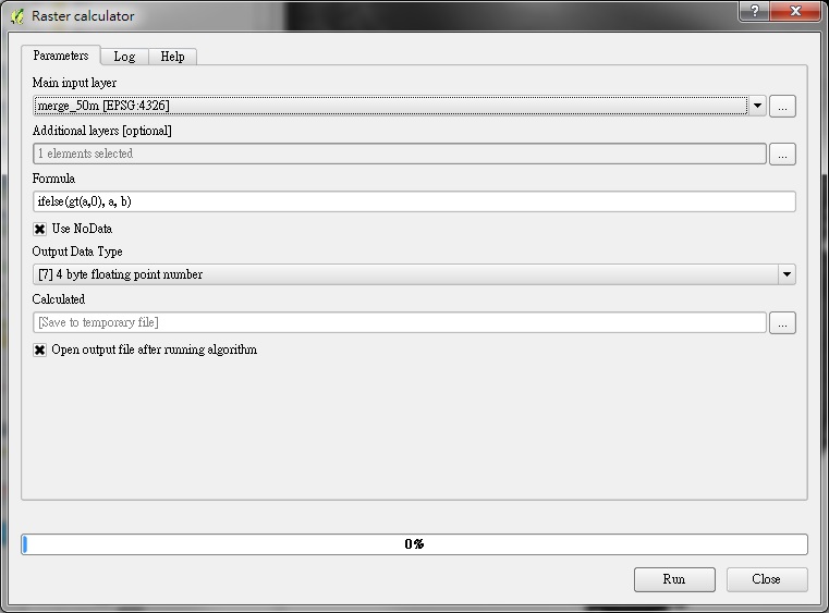
Open Processing algorithm: Raster calculator
 |
| QGIS 2.10.x |
- Main input layer
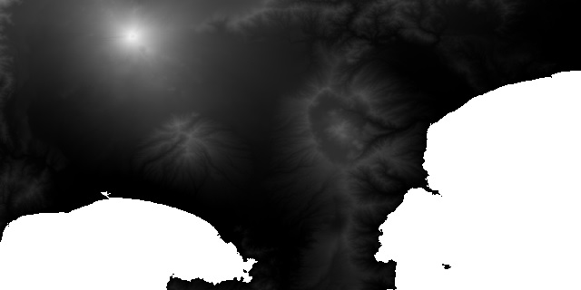
Select first input layer ( as variable a, DEM, sea level == NoData )
 |
| Sea = white area |
- Additonal layers
Select second input layer ( as variable b, Bathymetry )
- Formula
ifelse(gt(a,0), a, b)
if a > 0 then output = a else output = b
- Use NoData
Checked
- Result
The resulting layer
Note :
If your Main input layer contains NoData values, where the region will be ignored in the calculation.
You must check the option "Use NoData" so calculated correctly.
沒有留言:
張貼留言